On Real Streets
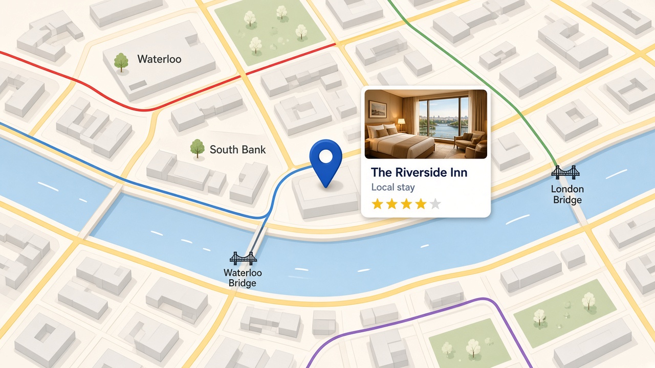
Lines follow the street network, not the official schematic Tube map.
About City Line Map
We map bus, tube and river services onto real city streets. London is live, with more cities coming. Independent of TfL.
Explore how the lines actually run through the city, on the street network rather than a diagram.
Lines follow the street network, not the official schematic Tube map.
Underground, buses (day and night), Overground, DLR, Elizabeth line, tram and river services.
Compare lines, drop pins and look around. Not a journey planner, and no live vehicles.
How it works
City Line Map is not a TfL product. Route data comes from TfL Open Data.
The London map
Open the live London map to follow bus, tube and river lines on the street network.
Open the London mapPut your brand in front of people exploring real city streets, transit routes and places. London is live, with more cities coming.
Tell me moreOpen the London map, or get in touch if you want to advertise with us.